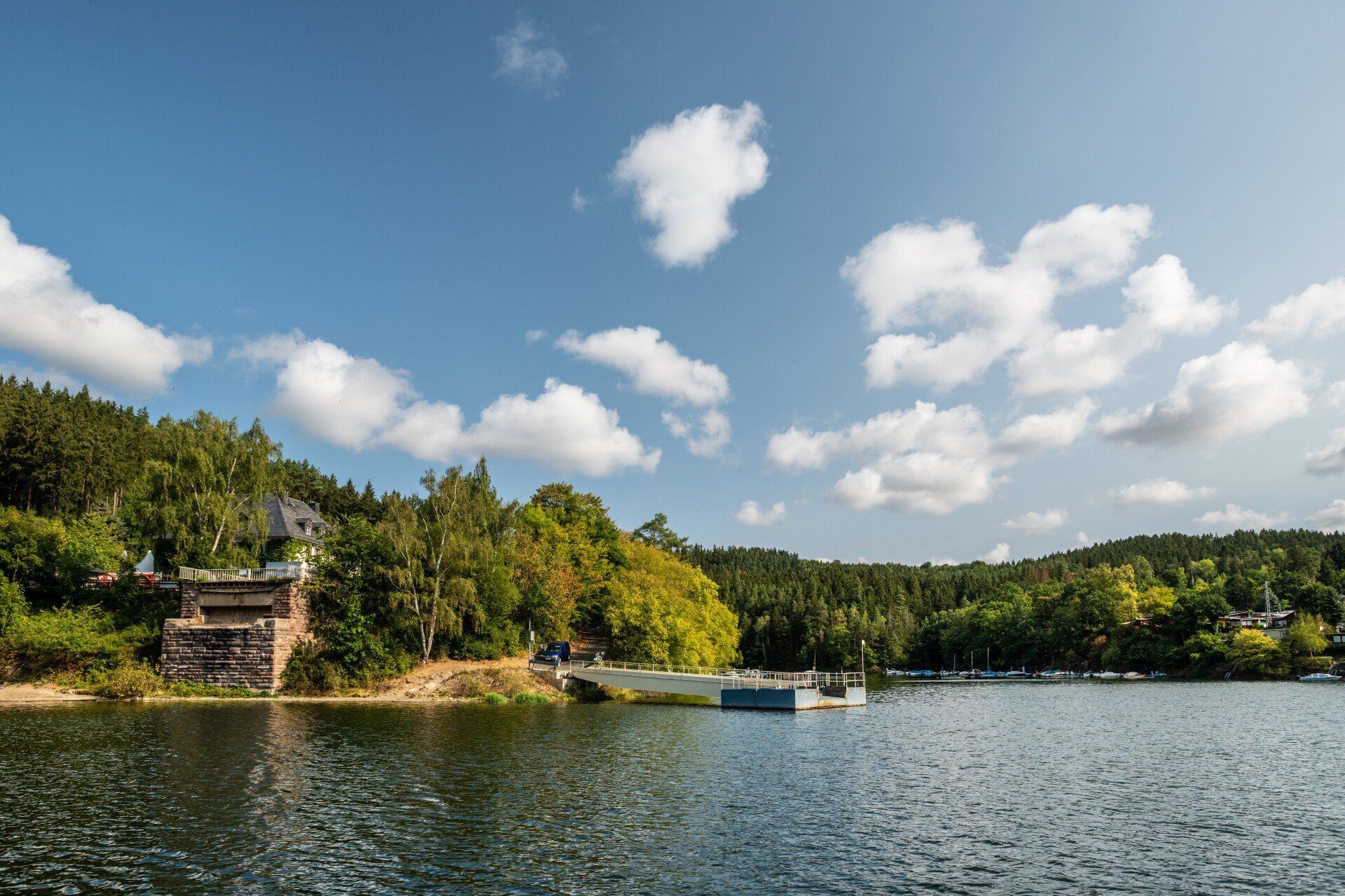
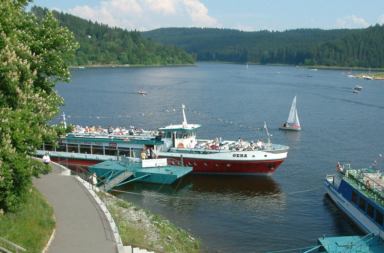
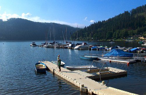
Discover the Thuringian Sea with its idyllic bays, fjord-like river landscapes and soaring rock faces. The river Saale forms the so-called Thuringian Sea with the almost 80 km long "Saale cascade", which has been dammed five times.
The Thuringian Sea
Water sports & water hiking
A paradise for water sports enthusiasts...
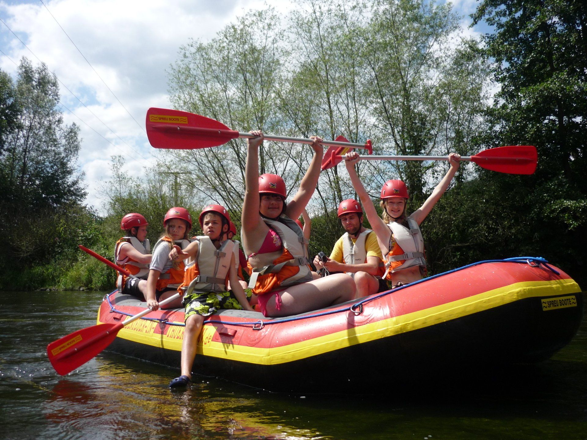
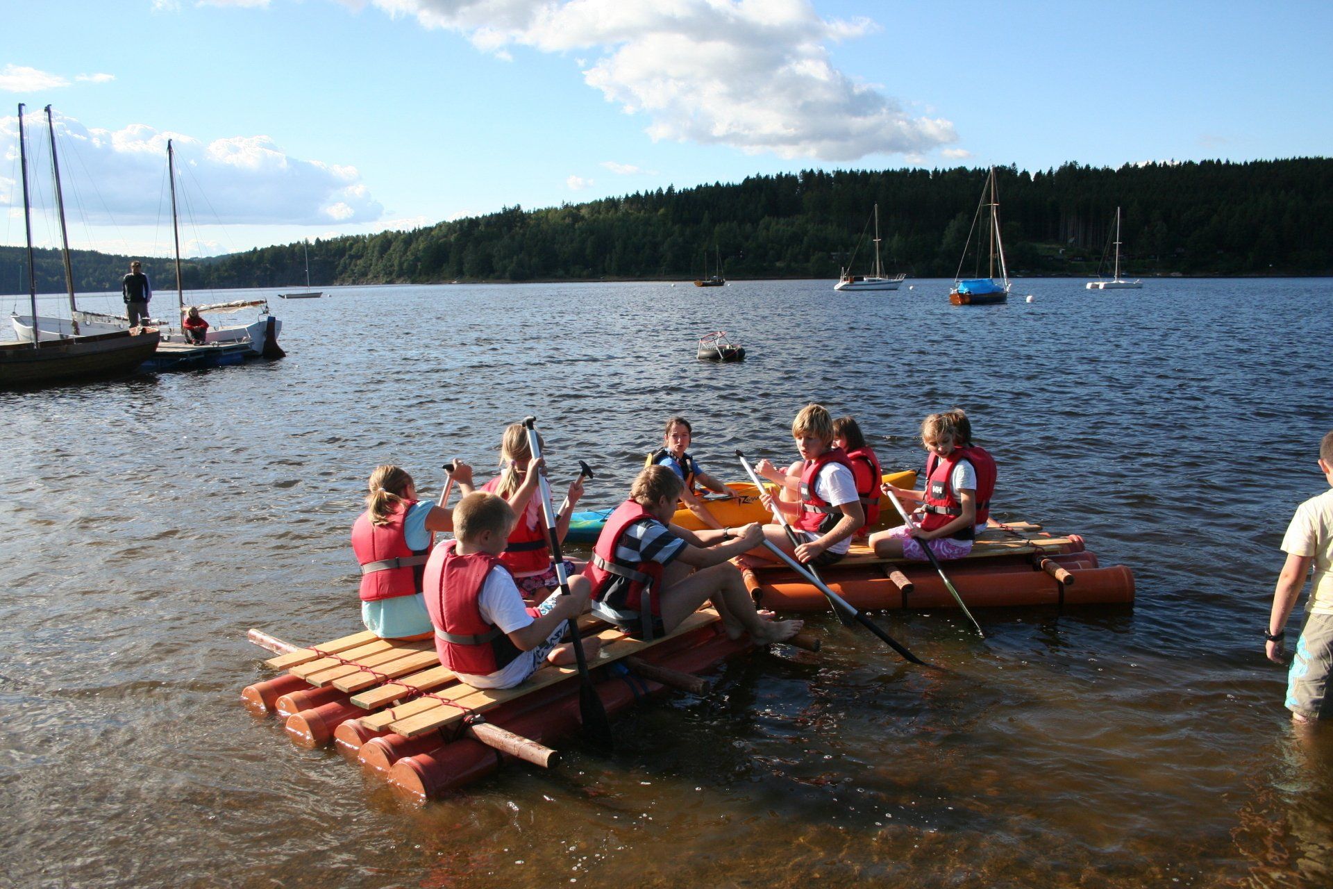
Whether it's surfing or diving, sailing or wakeboarding, water skiing or fishing, canoe tours or water hikes in Canada - a variety of different water sports activities await you in the Rennsteig-Saaleland.
With a canoe you can discover a region from a completely different perspective. Water hiking is also possible on the Saale and the Saale reservoirs, but with some restrictions, as you sometimes have to portage weirs and the water levels fluctuate greatly. Therefore, please inform yourself in detail before you set off on a tour.
The Saale is the largest and most important river in central Germany. As a classic water hiking trail, the Saale leads through Thuringia and Saxony-Anhalt to its confluence with the Elbe. The diverse, original and almost untouched Thuringian river landscape between partly fjord-like landscapes on the Thuringian Sea and Mediterranean-looking shell limestone rocks offers ideal conditions for extended canoe tours.
The varied course of the river with wide lake areas and narrow shore areas with changing flow speeds invites you to take a leisurely ride through the surrounding low mountain range landscape. The brochure (42 pages) offers an overview of a wide variety of paddling tours over 18 stages, from family-friendly to sporty, ambitious tours.
Current water levels can be found here
1. Vattenfall (Thuringian Sea)
2. TLUG Jena (the level indicators of the TLUG are measured daily and
Boat rental & swimming spots
Would you rather explore the Thuringian Sea on your own? No problem - you can rent pedal boats, sailing boats, rowing boats, motor or electric boats and canoes from numerous rental stations around the reservoirs and go on a great discovery tour.


